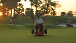
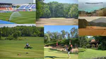
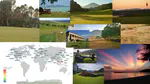
This is usually where I show a map with all my flights, mention that they took me some hundred thousands of kilometers, and then share some of my favorite turf photos from all the places I went.
I’ve been using the NASA POWER agroclimatology data for a few projects. I get the data using the convenient nasapower R package by Adam Sparks. There is also a web-based map data access viewer.
Yesterday I took a walk around a golf course in Chonburi, Thailand. It is three months into the dry season at this location; there has been negligible rainfall in Chonburi since the start of November.
At the end of every year, I like to look at my flight map and at some of my favorite turf photos.
In 2019 I was on 56 flights over 161,473 km (100,335 miles).
As I say at the end of every year, it was another extraordinary year for studying grass around the world.
In 2018 I took 107 flights for a total distance of 314,748 km (195,575 miles).
I noticed something interesting on the lawn of a resort at Ko Kood earlier this month. Looking down from the “Beware of falling coconuts” signs, I noticed that the southern section of lawn was primarily seashore paspalum, and that section of lawn was infested with a variety of weeds.